Covered with primeval rain forest, Gunung Batukau is the second highest mountain in Bali. At a height of 7,467 feet above sea level, it dominates the entire Tabanan area in the central part of the Indonesian island.
Mt Batukau is rather unpopular with climbers since its dense forest obstructs most of the vistas. The extinct volcano boasts the largest crater in Bali, which is open at the southern tip allowing the Mawa river to escape. The name ‘Batukau’ derives from the shape of the crater and means ‘coconut shell rock’ in Balinese.
Off the beaten track lies the village of Jatiluwih, which can be reached by driving up the southern slopes of Mt Batukau, passing tall trees, serene grottos and bubbling hot springs. Located at 2,790 feet above sea level, around 12.5 miles north of Tabanan, Jatiluwih presents an awe-inspiring panorama of endless rice terraces that follow the contours of the mountain lines until they meet the ocean.
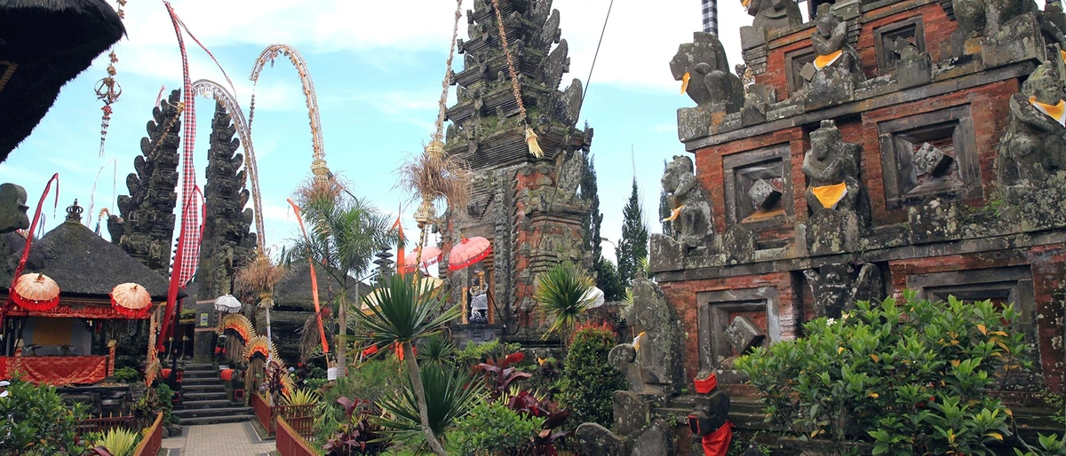
Further up at 4,260 feet above sea level sits Pura Luhur Batukau, one of the most important but least visited temples in Bali. Founded in the 11th century, this ancient sanctuary is surrounded by a huge tropical forest and comprises a fizzy spring and a large lake featuring another shrine in its center.
- Puru Luhur Batukau: A stunning temple nestled on the slopes of Mount Batukau, surrounded by dense forest and revered as a sacred site.
- Jatiluwih Rice Fields: Expansive UNESCO-listed rice terraces showcasing traditional Balinese farming and stunning landscapes with panoramic views.
Mt Batukau is about 40 miles northwest of Kuta. From Bali’s international airport, it roughly takes 2 hours to reach the mountain by car or minibus. The island’s international airport received flights from all major regional airports and select worldwide cities.
- What is it? The second highest mountain in Bali, which is still relatively unexplored.
- When to go? Outside of the monsoon season between April and October.
- Nearest town: Tabanan is around 14 miles from Mt Batukau.
- Don’t miss: a visit to the delightful Pura Luhur temple.
- Trivia: Gunung Batukau is Bali’s second highest mountain.
