
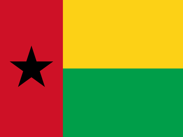
 Formosa (Guinea-Bissau)
 at a Glance
About Formosa (Guinea-Bissau)
Formosa is a small island off the Atlantic coast of Guinea-Bissau. It forms part of the coastal island chain associated with the Bijagós archipelago and adjacent tidal waterways.
The island is low-lying and connected to the region’s mangrove and marine ecosystems; there are no major tourist facilities on the island itself. Visitors typically pass through the wider Bijagós area for wildlife and coastal landscape interests rather than Formosa specifically.
The island has been used within the local maritime economy rather than as a center of settlement or large-scale development. Detailed historical records of the island’s use are limited in public sources.
Formosa lies off the coast of Guinea-Bissau in West Africa, among the islands and islets that fringe the mainland shoreline; access is by boat from mainland ports or other islands in the Bijagós area.
- Setting: Part of the Bijagós/Atlantic island system off Guinea-Bissau, the island is low-lying and tied to local marine and mangrove ecosystems. Boat access from the mainland is required.
Best Time to Visit Formosa (Guinea-Bissau)
Best attempted in the dry season when sea conditions and visibility improve for small boats.
Weather & Climate near Formosa (Guinea-Bissau)
Formosa (Guinea-Bissau)'s climate is classified as Tropical Savanna - Tropical Savanna climate with consistently warm temperatures year-round. Temperatures range from 17°C to 33°C. Heavy rainfall (2107 mm/year), wettest in August with a pronounced dry season.
| Month | Comfort | Temp | Feels | Rain | Sky | Humidity | Wind | UV | Daylight |
|---|---|---|---|---|---|---|---|---|---|
| January | Ideal | 17° - 32° | 24° | 0 mm | mostly sunny | 64% | 2.6 m/s | 1.8 very high | 11.4h |
| February | Excellent | 18° - 33° | 25° | 0 mm | mostly sunny | 64% | 2.5 m/s | 2.0 extreme | 11.7h |
| March | Excellent | 19° - 33° | 26° | 0 mm | mostly sunny | 68% | 2.6 m/s | 2.4 extreme | 12.0h |
| April | Excellent | 20° - 33° | 27° | 0 mm | mostly sunny | 71% | 3.0 m/s | 2.5 extreme | 12.3h |
| May | Excellent | 22° - 33° | 30° | 16 mm | some cloud | 74% | 2.6 m/s | 2.3 extreme | 12.5h |
| June | Good | 23° - 32° | 30° | 190 mm | partly cloudy | 80% | 2.5 m/s | 2.0 very high | 12.7h |
| July | Good | 23° - 30° | 26° | 567 mm | overcast | 85% | 2.3 m/s | 1.8 very high | 12.6h |
| August | Good | 22° - 29° | 26° | 659 mm | overcast | 87% | 2.1 m/s | 1.8 very high | 12.4h |
| September | Good | 22° - 30° | 26° | 421 mm | overcast | 85% | 1.9 m/s | 1.9 very high | 12.1h |
| October | Good | 23° - 31° | 27° | 222 mm | partly cloudy | 81% | 2.1 m/s | 1.9 very high | 11.8h |
| November | Excellent | 21° - 32° | 27° | 30 mm | mostly sunny | 71% | 1.9 m/s | 1.8 very high | 11.5h |
| December | Ideal | 18° - 32° | 25° | 2 mm | mostly sunny | 67% | 2.1 m/s | 1.7 very high | 11.3h |
How to Get to Formosa (Guinea-Bissau)
Access is only by boat from coastal launch points such as Bissau or larger islands in the Bijagós archipelago. Local boat operators in Bissau or from nearby islands can arrange landings; tides and weather dictate schedules.
Tips for Visiting Formosa (Guinea-Bissau)
- Bring a GPS and local charts-coastal navigation around Guinea‑Bissau islands can be tricky, with shallow sandbanks and variable tides.
- Coordinate with local fishers in advance; small island visits are usually arranged through boatmen from nearby mainland ports.
- Respect local customs and protected areas-many islets are important nesting sites and may be off-limits.