

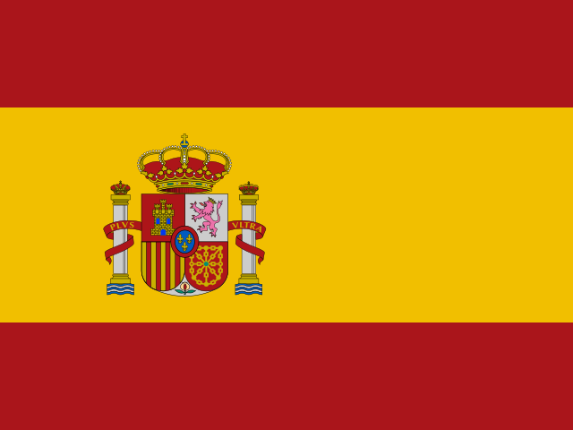
 Peñón de Vélez de la Gomera
 at a Glance
About Peñón de Vélez de la Gomera
Peñón de Vélez de la Gomera is a small Spanish-held fortified rock and military outpost on the Mediterranean coast of Morocco, one of Spain’s plazas de soberanía. The site was historically an island but is now attached to the mainland by a narrow sandy isthmus.
The location consists of fortifications and a small garrison rather than visitor facilities; access is restricted and the feature is primarily of geopolitical and military interest. There are no developed tourist amenities on the rock.
The rock has been fortified and occupied at various times by regional powers; in the modern era it remains under Spanish administration as a coastal enclave.
Geographically it sits on the Moroccan Mediterranean coast between the Rif mountains and the open sea, close to the Morocco-Spain maritime frontier.
Best Time to Visit Peñón de Vélez de la Gomera
Best visited by viewing from a boat or the nearby Moroccan coast; the site itself is a restricted Spanish military post with no public access.
Weather & Climate near Peñón de Vélez de la Gomera
Subtropical climate with warm summers (peaking in August) and cool winters (coldest in January). Temperatures range from 9°C to 29°C. Semi-arid with limited rainfall with a pronounced dry season.
| Month | Comfort | Temp | Feels | Rain | Sky | Humidity | Wind | UV | Daylight |
|---|---|---|---|---|---|---|---|---|---|
| January | Very Good | 9° - 17° | 13° | 47 mm | partly cloudy | 79% | 3.2 m/s | 0.4 low | 9.9h |
| February | Very Good | 10° - 17° | 13° | 41 mm | partly cloudy | 77% | 3.5 m/s | 0.7 moderate | 10.8h |
| March | Very Good | 11° - 19° | 15° | 49 mm | partly cloudy | 73% | 3.6 m/s | 1.1 high | 11.8h |
| April | Very Good | 12° - 21° | 17° | 39 mm | partly cloudy | 71% | 3.6 m/s | 1.5 high | 13.0h |
| May | Ideal | 14° - 23° | 19° | 23 mm | some cloud | 65% | 3.7 m/s | 1.8 very high | 13.9h |
| June | Ideal | 17° - 26° | 21° | 9 mm | mostly sunny | 55% | 3.5 m/s | 2.2 extreme | 14.4h |
| July | Ideal | 19° - 28° | 24° | 1 mm | mostly sunny | 43% | 3.5 m/s | 2.2 extreme | 14.1h |
| August | Ideal | 20° - 29° | 24° | 2 mm | mostly sunny | 44% | 3.4 m/s | 1.9 very high | 13.3h |
| September | Ideal | 19° - 26° | 23° | 8 mm | some cloud | 58% | 3.6 m/s | 1.4 high | 12.3h |
| October | Excellent | 16° - 23° | 19° | 18 mm | partly cloudy | 67% | 3.4 m/s | 0.9 moderate | 11.2h |
| November | Excellent | 12° - 20° | 16° | 25 mm | partly cloudy | 76% | 3.2 m/s | 0.5 moderate | 10.2h |
| December | Very Good | 10° - 18° | 14° | 44 mm | partly cloudy | 80% | 3.5 m/s | 0.4 low | 9.7h |
How to Get to Peñón de Vélez de la Gomera
The penon lies on the Moroccan Mediterranean coast and has no public access; views are taken from the Moroccan shore or from boat cruises that pass along that section of coastline. The nearest larger coastal towns on the Moroccan side are within a couple hours’ drive; boat operators based in nearby Moroccan ports occasionally include the rock in coastal trips (subject to local regulations).
Tips for Visiting Peñón de Vélez de la Gomera
- Access is typically restricted-do not plan to land without explicit permission from Spanish authorities.
- Photographs from the Moroccan shore or from passing boats give the best, least intrusive views.
- Bring binoculars: the site's tiny fortifications and the modern Spanish flag are easiest to see from a distance.